Now hiring | Multiple roles
View active rolesNow hiring | Multiple roles
View active roles
Scanning and digital inspections delivery platform.
beMap™ is a web based platform to view and analyse all digital scans and inspections in a fluid and intuitive way.
beMap is a comprehensive cloud platform for delivery, visualisation, storage and analysis of digital survey data.
Points clouds from Lidar, 3D models or photogrammetry models are available in 3D / 2D with a fluid interface and advanced data analytics based on AI-machine learning provide the information you need effectively.
From digital inspections of structures to vegetation encroachment assessment on power line or erosion analysis, the possibilities are endless.
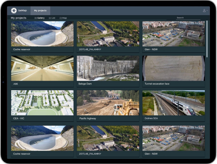
beMap™ allows you to store and analyse all your digital projects in one place and includes cutting edge technology to navigate cloud-based project files.
Point cloud, mesh, photogrammetry, orthophotos or oblique photos are all georeferenced and linked for interactive navigation.
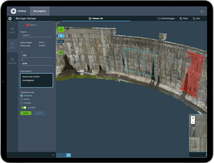
This feature is particularly powerful for performing digital inspection.
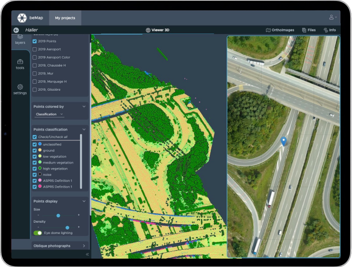
Using advanced algorithms, the system classifies objects and components for better analysis and insights.
Each object type is available on a dedicated layer and the side-by-side feature allows for a deeper analysis and following the evolution of the site.
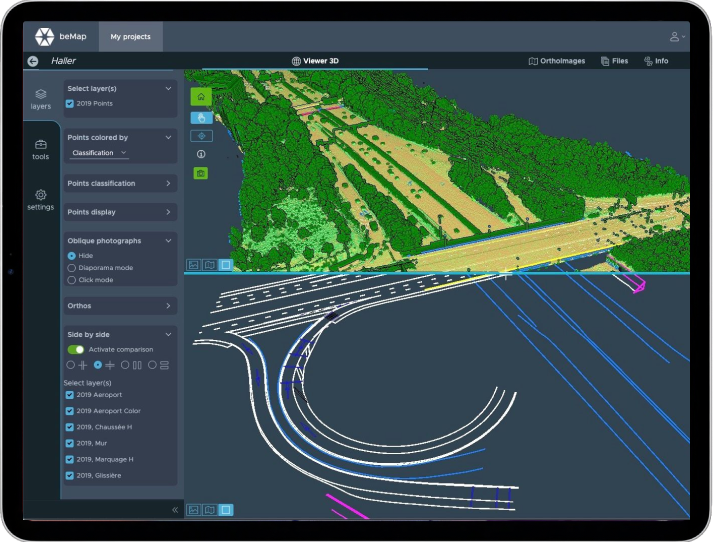
Comparing or merging different sets of data, either CAD drawings or scan data at different times, is just a click away.
The different elements from the data analysis - like cracks or corrosion of structures - are transformed into CAD files and exported for further use by third parties.
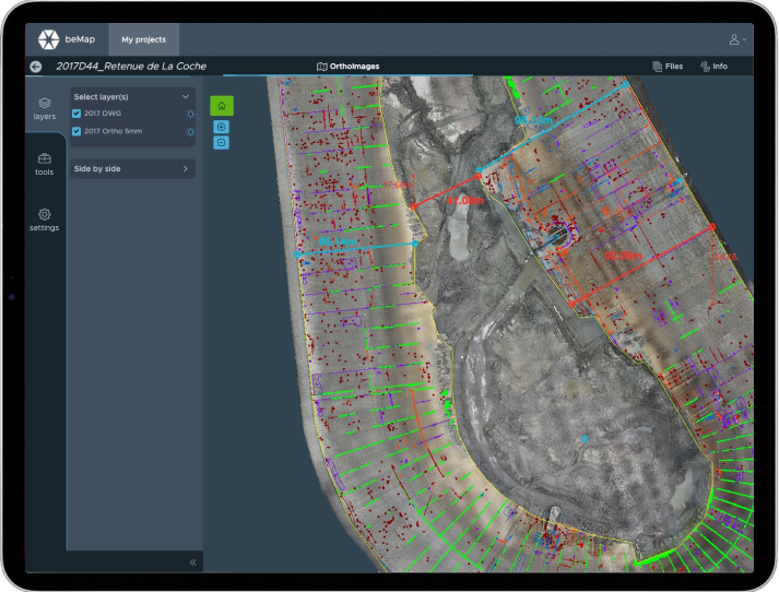
A comprehensive tool box allows for interactive 3D dimension queries, dynamic orthophotos and annotations.
Users can detect and report anomalies down to 1mm from the comfort of their office or home and automatically archive everything efficiently. Comparing the evolution of a structure over the years is now easy and reliable.
No lost of data or information any more!