Now hiring | Multiple roles
View active rolesNow hiring | Multiple roles
View active roles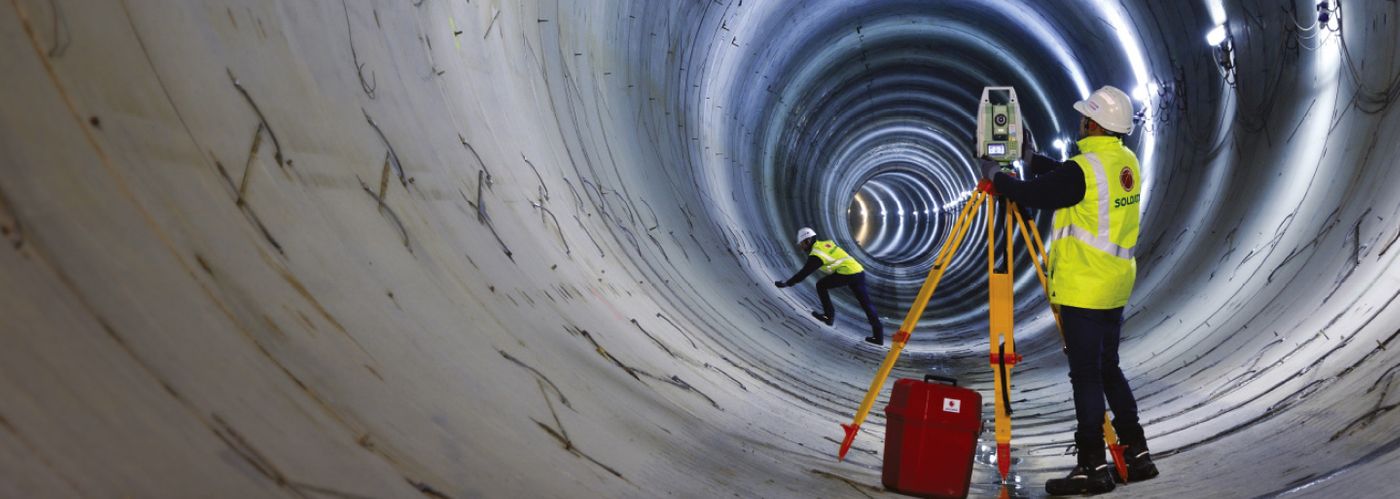

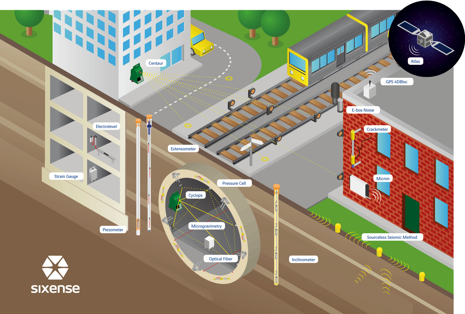
For more than 25 years, Sixense (formerly Soldata) has developed technologies and know-how in instrumentation and monitoring to mitigate the risks of urban tunnel constructions. We're specialised in automatic monitoring while integrating data from a wide variety of sensors into a single platform, whether that’s geotechnical, structural or environmental monitoring data.
From basic manual sensor data collection to complex satellite based monitoring (InSAR) or CYCLOPS, we select, install and operate the full range of sensors for tunnel construction monitoring.
Sixense has been awarded the comprehensive monitoring (Geotechnical, Structural & Environmental) of the tunnel section and environmental monitoring of the freeway & bridge sections.
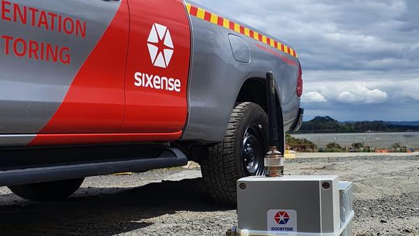
To monitor the instrumentation, a site-wide radio network has been established and used in conjunction with hundreds of wireless self powered dataloggers.
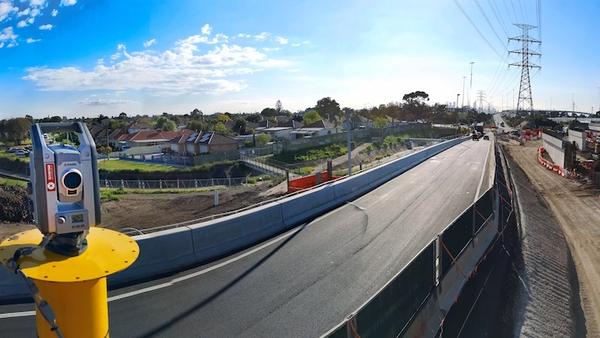
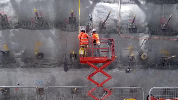
For structure and deformation monitoring Cyclops is deployed to monitor the 3D deformation of retaining walls, structures and roadways.
For geotechnical monitoring a large array of instruments are installed, including ground water piezometers and inclinometers.
Cyclops + 1,000 Prisms
Measurements (& counting)
Report templates
WV Piezometers
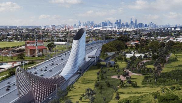
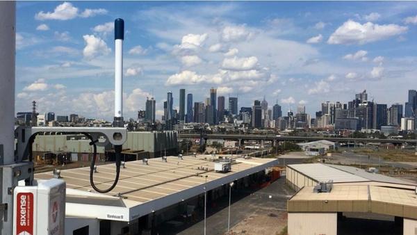
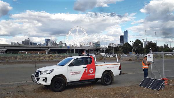
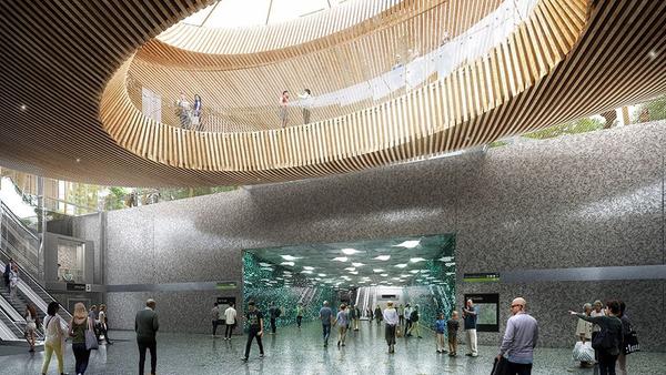
The Metro Tunnel is Melbourne involves constructing 9km of twin rail tunnels and five underground stations from North Melbourne through to the Domain precinct, via the CBD. The two stations caverns in the CBD are complex, each involving multiple shafts, entrance-ways, and adits, which are constructed with minimal disruption to the bustling city above.
Sixense is using CYCLOPS to provide automatic real-time deformation monitoring of structures and buildings. A significant achievement, and a first-of-a-kind, has been the real-time monitoring of the interior cavern construction using a complex group of networked Cyclops, allowing reference data to be transferred along the cavern to provide data with sub-millimetre precision.
CYCLOPS
Live tracks
Prisms
Shafts
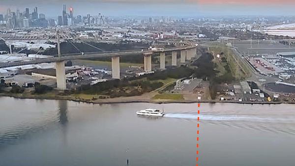
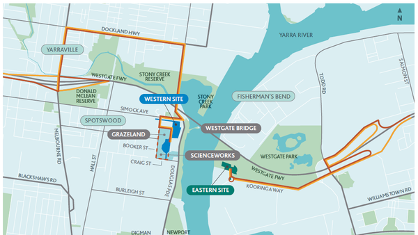
The existing Hobsons Bay Main (HBM) is a single sewer crossing under the Yarra River, transferring approximately 30% of Melbourne’s sewage to the Western Treatment Plant.
The HBM Yarra Crossing Duplications Project aims to build a new sewer alongside the current one to ensure uninterrupted service and facilitate future rehabilitation. The construction of two shafts on both the eastern and western banks of the Yarra River, along with the implementation of a pipe-jacked tunnel, is planned for the project.
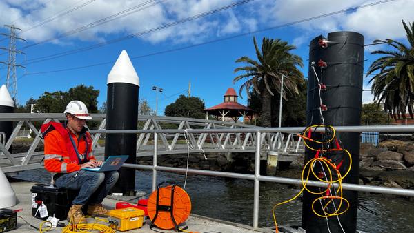
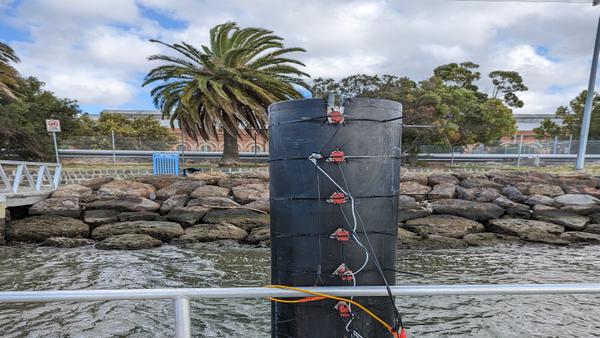
The Hobson Bay Sewer Tunnel Project includes an unidentified-length pile situated along the tunnel route. Sixense has been engaged to determine the length and depth of the pile, ensuring that the tunnel work passing beneath the structure avoids any potential collisions in the project.
Geometrics Geode Seismograph
RT Clark Geophones
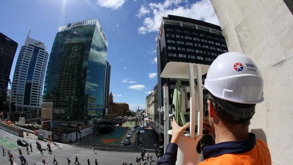
The City Rail Link is the largest transport infrastructure project ever to be undertaken in New Zealand. It includes a 3.45km twin-tunnel underground rail link up to 42 metres below the city centre transforming the downtown Britomart Transport Centre into a two-way through-station that better connects the Auckland rail network.
The Contract 1 (C1) consists of the construction of the tunnels under the Chief Post Office and involved a load transfer of the supporting columns of the building allowing for excavation underneath. It required real-time monitoring with millimeter accuracy to guarantee the integrity of the heritage structure.
CYCLOPS
Days of monitoring
Sensors in the field
Measurements
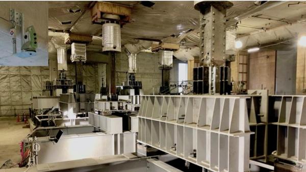
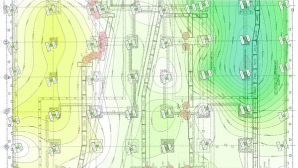
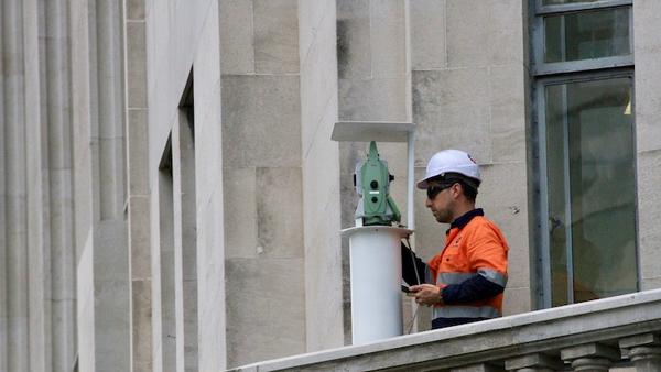
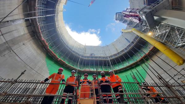
The Central Interceptor project in Auckland, New Zealand, is a major initiative to improve the city's wastewater system and reduce overflows into the harbours during heavy rainfall. It involves the construction of a 14.7-kilometer underground tunnel connecting the Western Isthmus to the Mangere Wastewater Treatment Plant.
Ghella Abergeldie Joint Venture has contracted Sixense to provide groundwater monitoring, ground movement detection, and structural stability assessment at each shaft site and along the entire tunnel alignment.
WV Piezometers
Inclinometers
Extensometers
Electrical Conductivity Meters
.jpg?ratio=16-9&w=600)
.jpg?ratio=16-9&w=600)
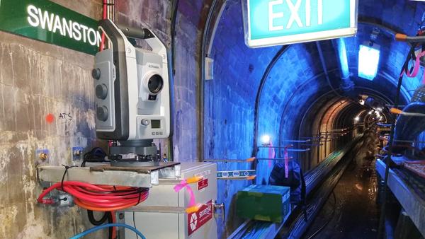
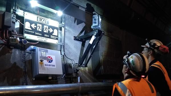
The construction of the State Library Station Cavern of the Melbourne Metro Tunnel project involves mining twin nozzle tunnels that come within less than 1m of the existing City Loop tunnels, which are critical to the smooth running of Melbourne's entire public transport network and must not be impacted in any way.
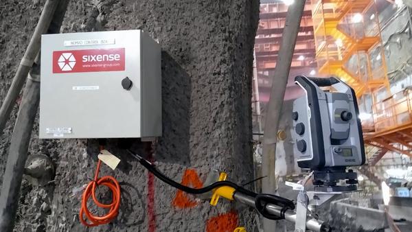
Sixense has installed its patented Cyclops system in each of the four City Loop tunnels for the monitoring of tunnel deformation in real-time. Displacement data with sub-millimetre precision is delivered to our client in real-time whilst trains continuously travel through the tunnel, ensuring all stakeholders that tunnel construction works are not impacting the safe operation of existing passenger train services.
Cyclops
Live railway tunnels
Monitoring prisms
Distance from new to existing tunnel
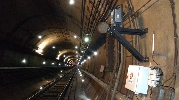
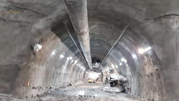
The City Rail Link (CRL) consists of twin 3.4km long tunnels up to 42m below the city streets to create an underground rail line linking Britomart and the city centre with the existing western line near Mt Eden. The Contract C2 involves the construction of 350m of twin cut and cover tunnels along Albert Street.
SIXENSE has been engaged by Connectus and Auckland Transport to monitor the construction works, and to provide assurance for Albert Street’s property owners and insurers.
The monitoring network consisted of a network of 9 Cyclops, 12 automatic inclinometers, dozens of ground water piezometers, and hundreds of strain gauges. The Cyclops network monitored building prisms and ground surface points 24/7 with sub-millimetre accuracy. The automatic inclinometers and strain gauges monitored deflections of the retaining walls and strut compression, and the piezometers measured ground water levels around the site.
Cyclops
In-place-inclinometers
automated strain gauges
Monitoring prisms
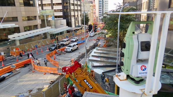
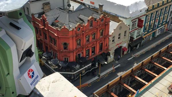
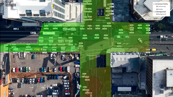
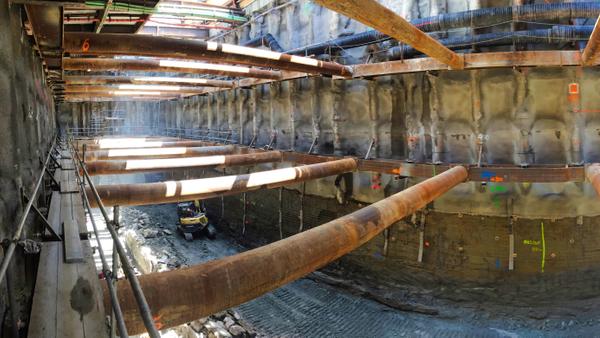
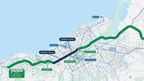
The 10.5 km Torrens to Darlington (T2D) tunnel project is the final piece of one of Adelaide’s most important transport routes, the North-South Corridor (NSC).
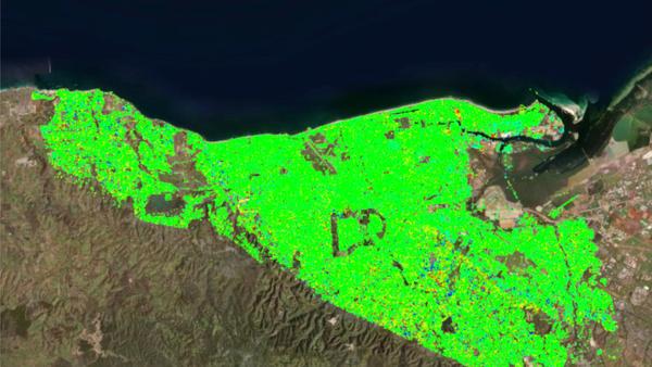
In order to gain a clearer understanding of the initial conditions, the Department of Infrastructure and Transport (DIT) enlisted Sixense to conduct historical ground deformation monitoring along the tunnel alignment. At the end, we ended up analysing the entire Adelaide Basin. This provided the team with invaluable data for their geotechnical analysis.
Surface analysed
Historical period
InSAR measurement points (PSI)
Measurement layers
The City Rail Link (CRL) is the country's largest transport infrastructure project. It involves twin 3.4km tunnels located up to 42m beneath the city streets, connecting Britomart and the city centre with the existing western line near Mt Eden. The CRL Contract 3 Project, the largest among all CRL contract packages, involves the construction of twin rail tunnels, two underground stations, and the redevelopment of Mt Eden Station.
In terms of monitoring, the CRL C3 project boasts the most extensive geotechnical and survey instrumentation installation on a single project in New Zealand to date. The monitoring network comprises more than 3,500 prisms monitored by 44 automatic total stations, 76 in-place inclinometers, numerous piezometers, and various other essential geotechnical instrumentation. This comprehensive setup plays a crucial role in ensuring the successful construction of the City Rail Link's stations and tunnels.
Cyclops + 3,500 Prisms
Piezometers
In-place-inclinometers
Vibration, Noise, Dust Monitors
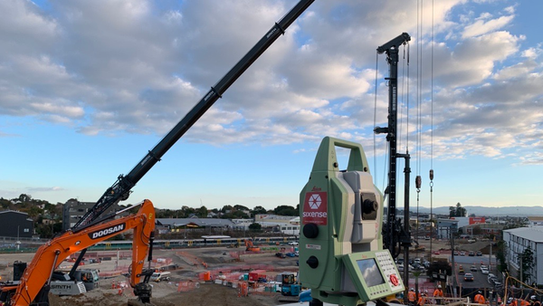
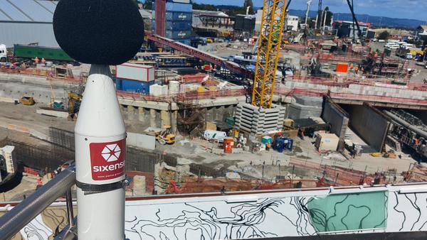
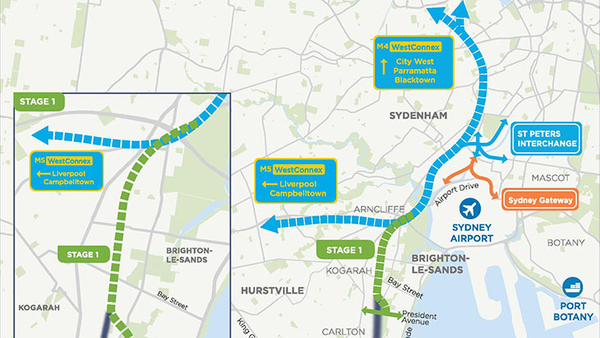
M6 Stage 1 aims to connect Sydney's south to the wider motorway network, enhancing travel convenience, speed, and safety. The project involves twin four-kilometre tunnels linking the M8 Motorway at Arncliffe to President Avenue at Kogarah, along with ramps for smooth integration with the surface intersection at President Avenue.
Sixense has successfully implemented a monitoring solution to address construction-related risks. The system includes piezometers for monitoring groundwater levels and automated inclinometers for measuring lateral displacement within boreholes. Sixense's high-frequency, automated monitoring effectively detects and mitigates risks related to soil improvement activities.
WV Piezometers
In-Place Inclinometers
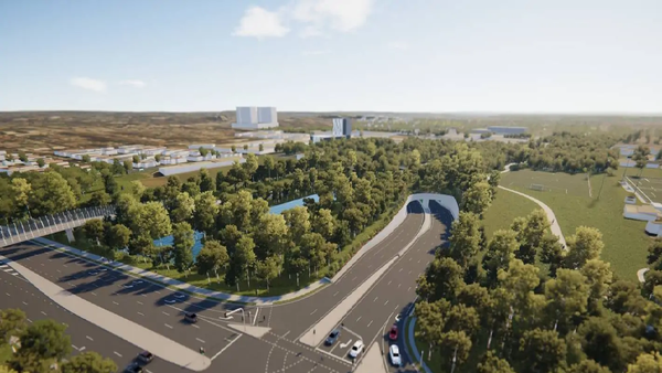
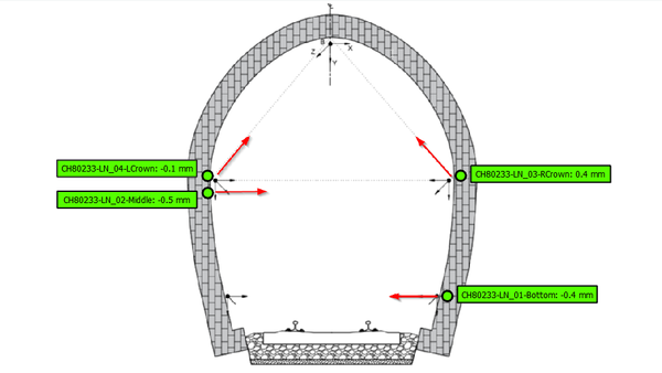
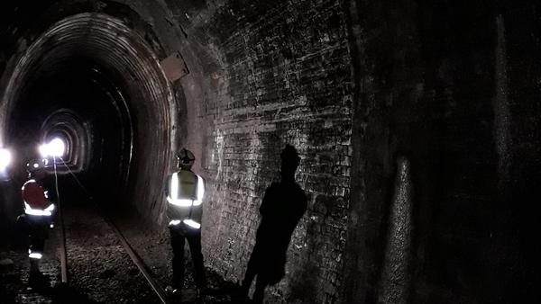
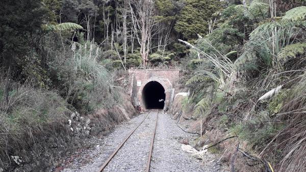
Work is underway to rejuvenate the rail line in Northland, which includes replacing five bridges and lowering the tracks in 13 tunnels to allow larger sized shipping containers to be carried on the line. KiwiRail has contracted Sixense to provide real time convergence monitoring of the tunnels along the rail line.
Due to the remote locations of the tunnels, a wireless solution with real-time data transfer has been proposed. At each tunnel, a number of convergence arrays has been installed consisting of laser distance meters installed to measure convergence of the tunnel shoulders and crown. Data is displayed in Geoscope, with real-time alarms triggered and sent to key stakeholders when set thresholds of convergence are exceeded.
tunnels
laser distance meters
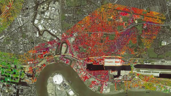
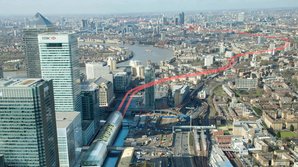
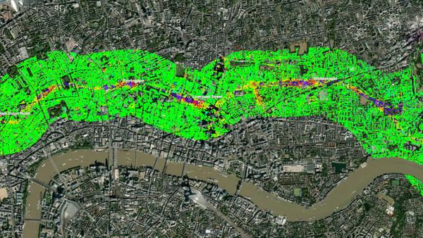
Crossrail (The Elisabeth Line) is a 117-kilometre railway that traverses London from East to West. The construction phase of the project began in 2009 with an estimated cost in excess of £17 billion. The main challenge, for which the ATLAS InSAR technique was pivotal, was monitoring the 21km of twin tunnels running from Paddington to Stratford and Canary Wharf below the city.
Crossrail is the first construction project actively using InSAR as a technique to reduce monitoring costs. ATLAS InSAR monitoring was performed before and during the construction of the tunnels and is still ongoing to analyse residual settlement. The study area monitored includes a corridor 2km wide over the tunnel alignment, covering a total area up to 36 km2.
Measurement Pts
Duration
