Now hiring | Multiple roles
View active rolesNow hiring | Multiple roles
View active roles
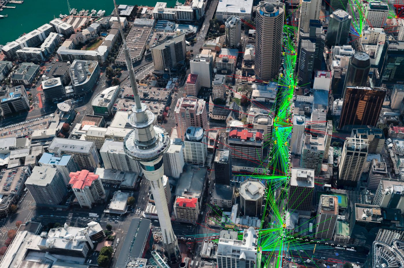
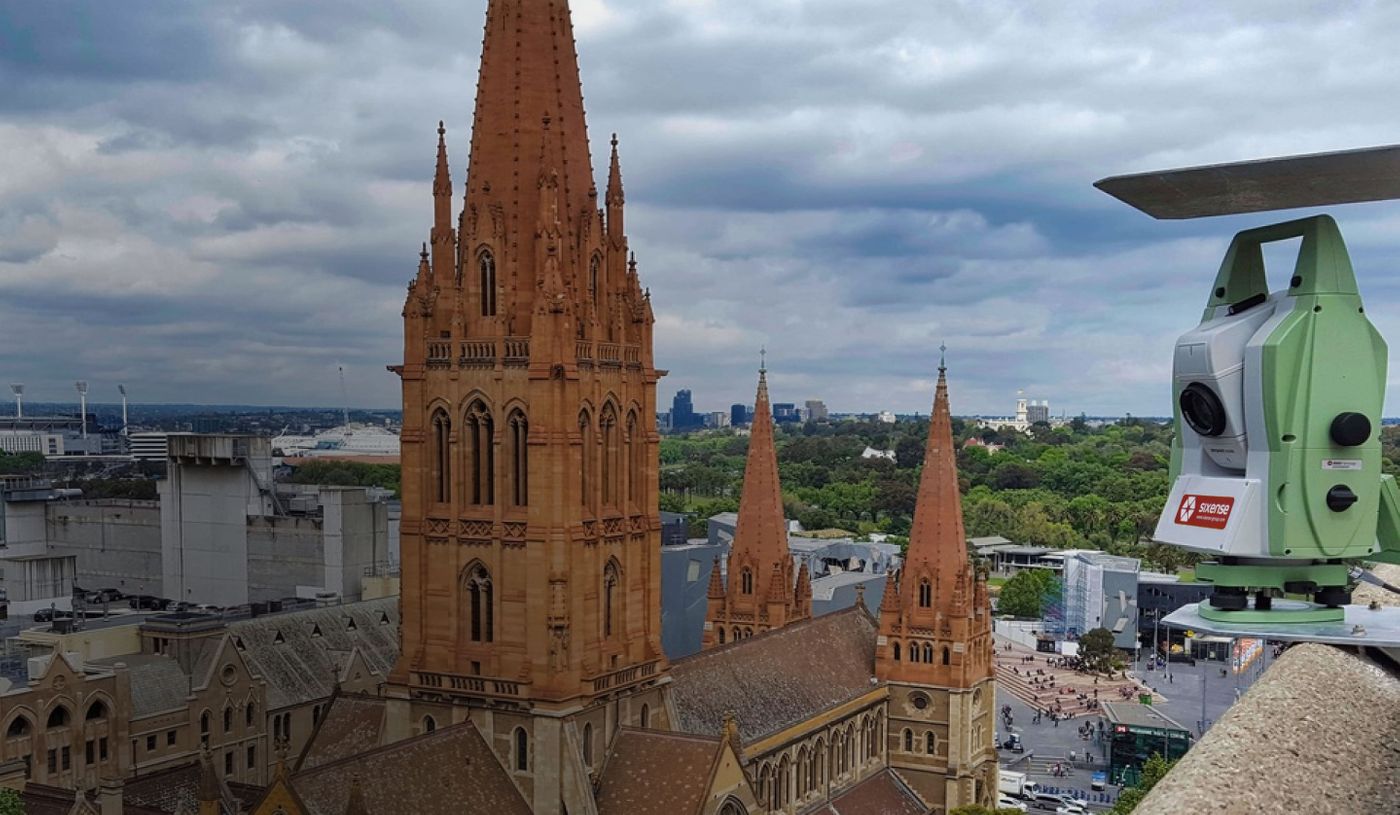
Sixense uses advanced instrumentation and technologies to mitigate the risks linked to construction and operation of infrastructures.
Sixense commits to deliver accurate and timely data allowing stakeholders to take measured decisions.
Sixense provides quality and compliant data so stakeholders can focus on their job.
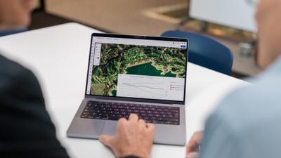
We’ve developed four areas of expertise to digitally manage your assets.
Whilst Sixense Group have a wide range of solutions, these are our flagship solutions in the Oceania region.
This Australia & New Zealand Conference on Geomechanics is a major event for the industry. Sixense will have a booth to present its integrated monitoring solutions. We will also have a presentation on expensive soil monitoring using Atlas - InSAR. Come and visit us in Cairns.

The company started from my home office a decade ago and it has been an incredible journey and continues to be so. I want to express our gratitude to our loyal clients, our suppliers and, of course, our exceptional team who consistently delivers projects with outstanding safety records. Eric - MD